-
")
| xxMap |
Col du Grand St. Bernard and Pain de Sucre (2900m) |
Mapxx |
-
")
| xxMap |
Col du Grand St. Bernard (Italian side) |
Mapxx |
-
")
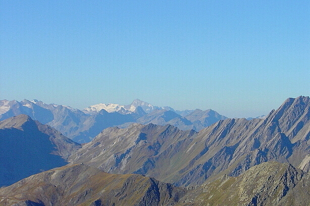
Grand Paradiso (4061m)
-
-
, Les Grandes Jorasses (4208m)")
Mont Blanc (4802m), Les Grandes Jorasses (4208m)
-

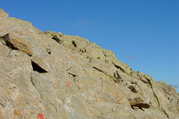
Ascent to Grande Chenalette
-

Ascent to Grande Chenalette
-
")
Col du Grand St. Bernard (Swiss side)
-

| xxMap |
Descent from Grande Chenalette |
Mapxx |
-
")
| xxMap |
Pointe de Drône (2949m) |
Mapxx |
-
-
")
On the summit of Pointe de Drône (2949m)
-
, Aiguille de l'A Neuve (3753m), Tita Neire (3175m)")
Mont Dolent (3820m), Aiguille de l'A Neuve (3753m), Tita Neire (3175m)
-
, Mont Dolent (3820m)")
Pointe Allobrogia (3172m), Mont Dolent (3820m)
-
, Les Grandes Jorasses (4208m)")
Mont Blanc (4802m), Les Grandes Jorasses (4208m)
-
")
Grand Combin (4314m)
-
")
Pointe de Drône (2949m)
-
")
Grand Golliat (3238m)
-
")
Mont Dolent (3820m)
-
")
Aiguille de l'A Neuve (3753m)
-
-

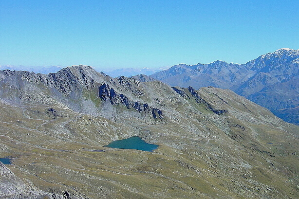
| xxMap |
Lacs de Fenêtre |
Mapxx |
-
")
Fenêtre de Ferret (2698m)
-

Pointe de Drône West Face
-
")
Mont Fourchon (2902m)
-

The Roman Road
-

| xxMap |
Statue of St. Bernard |
Mapxx |